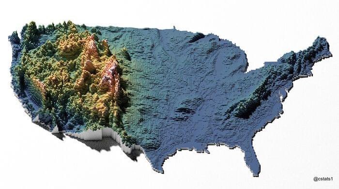
I recently came across this stunning elevation-based map of the USA.
I never knew how lonely the Appalachian Mountains are out east, how densely packed the western mountain ranges are, and just how much of the middle of the US is flat land.
It’s also a great lesson about how you can stare at something your whole life, and in a single moment, a single image can change your perspective—if you’re open to seeing it.
